
This report is shown as scanned pages until a volunteer types it up. Skip to the machine-read text (unproofread), which a screen reader can read.
Machine-read text (unproofread)
Read from the scans by software, so it contains mistakes. Typing it up properly would help blind readers: use Suggest an edit.
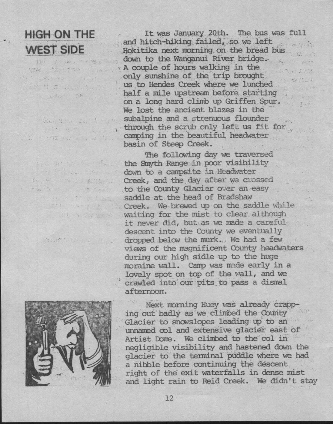
HIGH ON THE It was January 20th. The bus was full and hitch-hiking, failed,so we left WEST SIDE Hokitika next morning on the bread bus 1 down to the Wanganui River bridge. I A couple of hours walking in the. only sunshine of the trip brought us to Hendes Creek where we lunched half a mile upstream before. starting on a long hard climb up Griffen Spur. We lost the ancient blazes in the subalpine and a strenuous flounder - through the scrub only left us fit for d camping in the beautiful headwater basin of Steep Creek. The following day we traversed the Smyth Range in poor visibility down to a campsite in Headwater Creek, and the, day after we crossed to the County Glacier over an easy saddle at the head of Bradshaw Creek. We brewed up on the saddle while waiting for the mist to clear although it never did, but as we made a careful descent into the County we eventually dropped below the murk.. We had a few views of the magnificent County headwaters during our high sidle up to the huge moraine wall. Camp was made early in a lovely spot on top of the wall, and we crawled into'our pits.to pass a dismal afternoon. Next morning Huey was already crapping out' badly as we climbed the County Glacier to snowslopes leading up to an unnamed col and extensive glacier east of Artist Dome. We climbed to the col in negligible visibility and hastened down the glacier to the terminal puddle where we had a nibble before continuing the descent right of the exit waterfalls in dense mist and light rain to Reid Creek. We didn't stay long in this river though - as it flows in a slot So we climbed to the tussock and sidled on easy slopes around to Stag Creek and up to Ivory Glacier hut. a This hut was a good place for a pit bash next day while listening to the moaning wind and rain, and eating ourselves silly. Next day dawnedas miserable as ever but a slight clearance enticed us out in the direction of Seddon Col by mid-morning. Once again Huey beat us to the top by lashing us with mist, wind and snow. I hadn't expected any problems on Seddon Col and the very steep snow gully confronting us on the other side came as quite a surprise. The upper few hundred feet comprised extremely steep hard snow which required front points and fixed belays before we could move on crampons alone all the way to the creek. But something was wrong, we had in fact missed the col completely and were now in the Price. Despite our error it was really good to be in the Price Valley at last, and what did it matter anyway. An easy walk downstream soon brought us to cosy little Prices Basin Hut. The day after proved to be our hardest, and if we'd known that we might have left a little earlier than 1 p.m. Eight hours later we arrived at Prices Flat hut stuffed out of our brains after an incredibly hard bash through dense subalpine and giant upthrust rocks down Pahlow Ridge. Hell, it was hard, and of course it was hoseing with rain and sleeting all the time and my temper was really wild. We still had a few days of the trip left but there was no improvement in the weather next morning, and as Paul had a sore ankle we decided to go home. Once again we left quite late to wander down the New Whitcombe track to finish the trip with a long road bash. We called a taxi from the farmer's place and he welcomed us in for a beer and yarn before it arrived. What a beautiful gesture! PAUL RICHARDSON Despite the prolonged spell of poor weather it was still a most enjoyable trip for'Paul Delislerand Paul Richardson. Incidentially this was Paul's first big trip, and I think thats a great performance.
Postscript: - E - Shortly after we left the hills Club members Tim Stern and Paul Roy did a trip in this general area with similar weather. Their route was up the Whitcombe Valley track to - Wilkinson Hut, then up the Wilkinson and over Seddon Col to Waitaha Hut. They thenidid a hard sidle around Mt. Blomfield to County Hut, crossed the easy saddle to Bradshaw Creek and travelled down to the Smyth - Evans confluence where there isa new hut. From"here they took the Wanganui Valley out to the road.
Comments
Comments are not open yet.