
This report is shown as scanned pages until a volunteer types it up. Skip to the machine-read text (unproofread), which a screen reader can read.
Machine-read text (unproofread)
Read from the scans by software, so it contains mistakes. Typing it up properly would help blind readers: use Suggest an edit.
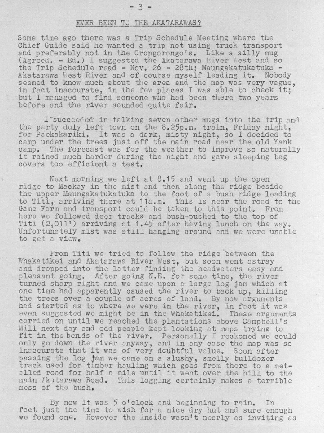
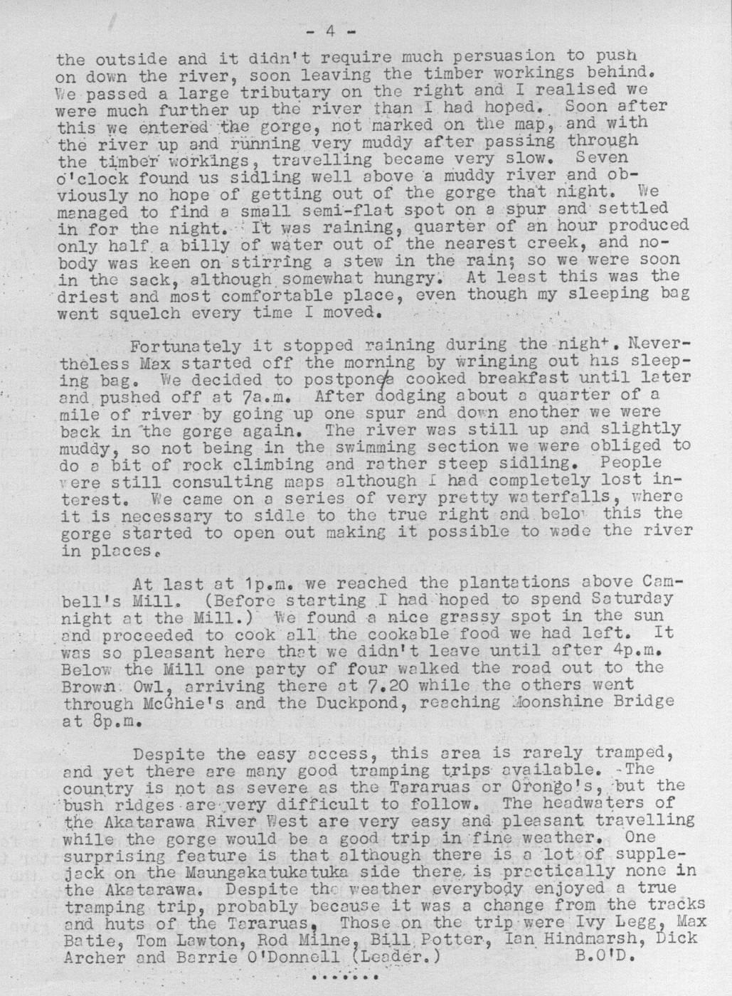
EVER BEEN TO THE AKATARAWAS? Some time ago there was a Trip Schedule Meeting where the Chief Guide said he wanted a trip not using truck transport and preferably not in the Orongorongo's. Like a silly mug (Agreed. - Ed.) I suggested the Akatarawa River West and so the Trip Schedule read = Nov. 26 - 28th; Maungaka tuka tuka - Akatarawa Vest River and of course myself leading it. Nobody seemed to know much about the area and the map. was very vague, in fact inaccurate, in the fow places I was able to check it; but I managed to find someone who had been there two years before and the river sounded quite fair. I'succcaded in talking seven other mugs into the trip and the party duly left town on the 8.25p.m. train, Friday night, for Packakariki. It was a dark, misty night, so I decided to camp under the trees just off the main road near the old Yank campo The forecast was for the weather to improve so nat turally it rained much harder during the night and gave sleeping bag covers too efficient a test. Next morning we left at 8.15 and went up the open ridge to Mackay in the mist and then along the ridge beside the upper Maungakatuka tuka to the foot of a bush ridge leading to Titi, arriving there at 11a.mo This is near the road to the Game Farm and transport could be taken to this point. From here we followed deer tracks and bush-pushed to the top of Titi (2,011') arriving at 1.45 after having lunch on the way. Unfortunately mist was still hanging around and we were uneble to get a view. From Titi we tried to follow the ridge between the Whaka tikei and Akatarawa River West, but soon went astray and dropped into the latter finding the headwaters easy and pleasant going, After going N.E. for some time, the river turned sharp right and we came upon a large log jam which at one time had apparently caused the river to back up, killing the trees over a couple of acres of lando By now arguments had started as to where we were in the river, in fact it was even suggested we might be in the Whakatikei. These arguments carried on until we reached the plantations above Campbell's Mill next day and odd people kept looking at maps trying to fit in the bends of the river. Personally I reckoned we could only go down the river anyway, and in any case the map was So inaccurate that it was of very dcubtful value. Soon after passing the log jam we came on a slushy, smelly bulldozer track used for timber hauling which goes from there to a metalled road for half a mile until it went over the hill to the main Ikitarewa Road. This logging certainly makes a terrible mess of the bush. By now it was 5 o'clock and beginning to raino In fact just the time to wish for a nice dry hut and sure enough we found one. However the inside wasn't nearly as inviting as the outside and it didn't require much persuasion to push on down the river, soon leaving the timber workings behindo We passed a large tributary on the right and I realised we were much further up the river than I had hoped.. Soon after this we entered the gorge, not marked on the map, and with the river up and running very muddy after passing through the timber workings, travelling became very slow. Seven o'clock found us sidling well above a muddy river and obviously no hope of getting out of the gorge that night. We managed to find a small semi-flat spot on a spur and settled in for the night. : It was raining, quarter of an hour produced only half a billy of water out of the nearest creek, and nobody was keen on'stirring a stew in the rain; so we were soon in the sack, although. somewhat hungry. At least this was the driest and most comfortable place, even though my sleeping bag went squelch every time I moved. Fortunately it stopped raining during the nigh+, Nevertheless Max started off the morning by wringing out his sleeping bago We decided to postponee cooked breakfast until later and, pushed off at 7a.m. After dodging about a quarter of a mile of river by going up one spur and down another we were back in the gorge again. The river was still up and slightly muddy, so not being in the swimming section we were obliged to do a bit of rock climbing and rather steep sidling. People vere still consulting maps although I had completely lost interest. We came on a series of very pretty waterfalls, where it is necessary to sidle to the true right and beloi this the gorge started to open out making it possible to wade the river in places. At last at 1p.m. we reached the planta tions above Cambell's Mill. (Before starting I had hoped to spend Saturday night at the Mill.) We found a nice grassy spot in the sun and proceeded to cook all the cookable food we had left. It was so pleasant here that we didn't leave until after 4p.m. Below the Mill one party of four walked the road out to the Brown. Owl, arriving there at 7.20 while the others went through McGhie's and the Duckpond, reaching Moonshine Bridge at 8p.m. Despite the easy access, this area is rarely tramped, and yet there are many good tramping trips available. - The country is not as severe as the Tararuas or Orongo's, but the bush ridges sarevery difficult to follow. The headwaters of the Akatarawa River West are very easy and pleasant travelling while the gorge would be a good trip in fine weather. One surprising feature is that although there is a lot of supplejack on the Moungekatuketuka side there, is prectically none in the Akatarawa. Despite the weather everybody enjoyed a true tramping trip, probably because it was a change from the tracks and huts of the Teraruas, Those on the trip: were Ivy Legg, Max Batie, Tom Lawton, Rod Miine, Bill, Potter, Ian Hindmarsh, Dick Archer and Barrie O'Donnell (Leader.) B.O'D. :
Comments
Comments are not open yet.