
This report is shown as scanned pages until a volunteer types it up. Skip to the machine-read text (unproofread), which a screen reader can read.
Machine-read text (unproofread)
Read from the scans by software, so it contains mistakes. Typing it up properly would help blind readers: use Suggest an edit.
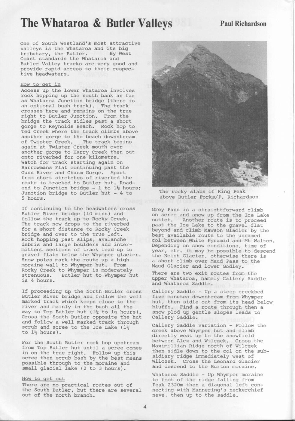
The Whataroa & Butler Valleys Paul Richardson One of South Westland's most attractive valleys is the Whataroa and its big tributary, the Butler. By West Coast standards the Whataroa and Butler Valley tracks are very good and provide rapid access to their respective headwaters. How to get in Access up the lower Whataroa involves rock hopping up the south bank as far as Whataroa Junction bridge (there is an optional bush track). The track crosses here and remains on the true right to Butler Junction. From the bridge the track sidles past a short gorge to Reynolds Beach. Rock hop to Ted Creek where the track climbs above another gorge to the beach downstream of Twister Creek. The track begins again at Twister Creek mouth over another gorge to Harry Creek then out onto riverbed for one kilometre. Watch for track starting again on Barrowmans Flat continuing past the Gunn River and Chasm Gorge. Apart from short stretches of riverbed the route is tracked to Butler hut. Roadend to Junction bridge - 1 to 1% hours; Junction bridge to Butler hut - 4 to The rocky slabs of King Peak 5 hours. above Butler Forks/P. Richardson If continuing to the headwaters cross Grey Pass is a straightforward climb Butler River bridge (10 mins) and on scree and snow up from the Ice Lake follow the track up to Rocky Creek. outlet. Another route is to proceed The track now drops to the riverbed past the Ice Lake to the gravel flat for a short distance to Rocky Creek beyond and climb Mawson Glacier by the bridge and over to the true left. best available route to the unnamed Rock hopping past slips, avalanche col between White Pyramid and Mt Walton. debris and large boulders and inter- Depending on snow conditions, time of mittent sections of track lead up to year, etc. it may be possible to descend gravel flats below the Whymper glacier. the Neish Glacier, otherwise there is Snow poles mark the route up a high a short climb over Maud Pass to the moraine wall to Whymper hut. From Maud Glacier and lower Godley. Rocky Creek to Whymper is moderately strenuous. Butler hut to Whymper hut There are two exit routes from the is 4 hours. upper Whataroa, namely Callery Saddle and Whataroa Saddle. If proceeding up the North Butler cross Callery Saddle - Up a steep creekbed Butler River bridge and follow the well five minutes downstream from Whymper marked track which keeps close to the hut, then sidle out from its head below river and mainly in the bush all the bluffs. Find a route through then a way to Top Butler hut (1% to 12 hours). snow plod up gentle slopes leads to Cross the South Butler opposite the hut Callery Saddle. and follow a well marked track through scrub and scree to the Ice Lake (1% Callery Saddle variation = Follow the to 12 hours). creek above Whymper hut and climb directly west up to the snowfield For the South Butler rock hop upstream between Alex and Wilczek. Cross the from Top Butler hut until a scree comes Maximillian Ridge north of Wilczek in on the true right. Follow up this then sidle down to the col on the subscree then scrub bash by the best means sidiary ridge immediately west of possible through to the moraine and Wilczek. Cross the Leonard Glacier small glacial lake (2 to 3 hours). and descend to the Burton moraine. Whataroa Saddle - Up Whymper moraine How to get out to foot of the ridge falling from There are no practical routes out of Peak 2320m then a diagonal left conthe South Butler, but there are several necting with Mannering's neckerchief out of the north branch. neve, then up to the saddle.
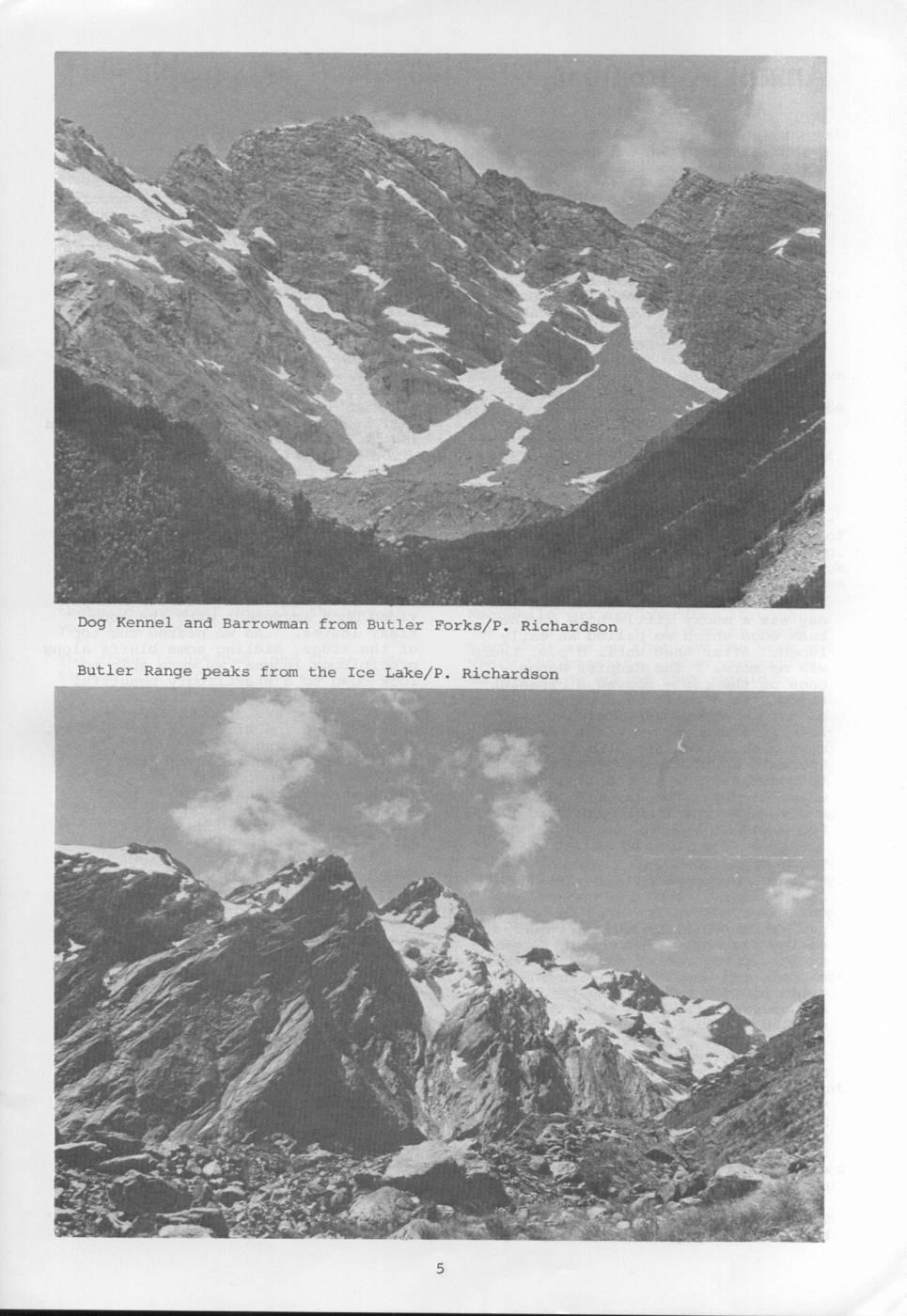
Dog Kennel and Barrowman from Butler Forks/P. Richardson Butler Range peaks from the Ice Lake/P. Richardson
Comments
Comments are not open yet.