
This report is shown as scanned pages until a volunteer types it up. Skip to the machine-read text (unproofread), which a screen reader can read.
Machine-read text (unproofread)
Read from the scans by software, so it contains mistakes. Typing it up properly would help blind readers: use Suggest an edit.
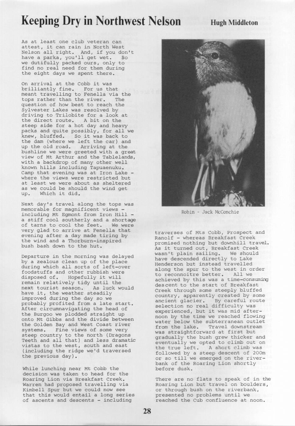
Keeping Dry in Northwest Nelson Hugh Middleton As at least one club veteran can attest, it can rain in North West Nelson all right. And, if you don't have a parka, you'll get wet. So we dutifully packed ours, only to find no real need for them during the eight days we spent there. On arrival at the Cobb it was brilliantly fine. For us that meant travelling to Fenella via the tops rather than the river. The question of how best to reach the Sylvester Lakes was resolved by driving to Trilobite for a look at the direct route. A bit on the steep side for a hot day and heavy packs and quite possibly, for all we knew, bluffed. So it was back to the dam (where we left the car) and up the old road. Arriving at the bushline we were greeted with a great view of Mt Arthur and the Tablelands, with a backdrop of many other well known hills including Tapuaenuku. Camp that evening was at Iron Lake = where the views were restricted but at least we were about as sheltered as we could be should the wind get up. Which it did. I Next a day's travel along the tops was à memorable for magnificent views - Robin Jack McConchie including Mt Egmont from Iron Hill a stiff cool southerly and a shortage of tarns to cool the feet. We were very glad to arrive at Fenella that traverses of Mts Cobb, Prospect and evening after a day made tiring by Ranolf - whereas Breakfast Creek the wind and a Thorburn-inspired promised nothing but downhill travel. bush bash down to the hut. As it turned out, Breakfast Creek wasn't plain sailing. We should Departure in the morning was delayed have descended directly to Lake by a zealous clean up of the place Henderson but instead travelled during which all sorts of left-over along the spur to the west in order foodstuffs and other rubbish were disposed of. Hopefully it will to reconnoitre better. All we achieved by this was a time-consuming remain relatively tidy until the des cent to the start of Breakfast next tourist season. As luck would Creek through some steeply bluffed have it, the weather steadily country, apparently created by some improved during the day so we ancient glacier. By careful route probably profited from a late start. selection no real difficulty was After circumnavigating the head of experienced, but it was mid afterthe Burgoo we plodded straight up noon by the time we reached onto Gibbs flowing Mt and the divide between water below the subterranean outlet the Golden Bay and West Coast river from the lake. Travel downstream systems. Fine views of some very was straightforward at first but steep country to the north (Dragons gradually the bush grew thicker and Teeth and all that) and less dramatic eventually we opted to climb out on vistas to the west, south and east the true left. A short climb was (including the ridge we'd traversed followed by a steep descent of 200m the previous day). or so till we emerged on the riverbank of the Roaring Lion shortly While lunching near Mt Cobb the before dusk. decision was taken to head for the Roaring Lion via Breakfast Creek. There are no flats to speak of in the Warren had proposed travelling via Roaring Lion but travel on boulders, Kimbell Spur but we could now see or through bush on the riverbank, that this would entail a long series presented no problems until we of ascents and descents - including reached the Cub confluence at noon.
Here the river becomes gorgey with night and into the morning. Four many cliffs and deep pools. So, likely lads from Nelson, who had following advice obtained prior to arrived before us the previous day, the trip, we climbed out on the true set off into the rain bound for right and followed terraces 100m or Karamea Bend. One was clad in a so above the river. Someone had piece of black polythene in place of marked trees with razzle-dazzle a parka. We, despite being somewhat paint, but the markings were too better equipped, waited till the spasmodic to be of much use. A rain cleared at noon before making deeply entrenched stream descending a short excursion to Gordons Pyramid from the Marshall Range forced us via the local sink holes. If the back to the river a while later. weather had been better we'd have As the river was low we were able to gone on to the top of Mt Arthur. make our way down the riverbed from this point for a kilometre or so Our last day dawned fine but cloudy until a large pool blocked further so we gave away our contingency plan progress. Some big trout were of returning to the road via the clearly visible but it was drizzling Flora Stream and Takaka River and lightly so we didn't hang around and set off over the Tableland to Balloon attempt to catch any. A short steep and Lake Peel. The cloud gradually sidle marked by razzle-dazzle brought lifted as we went along, so we us to open riverbed a few hundred continued past the Myttons turn-off metres from Roaring Lion Hut and the and eventually dropped to the road Beautiful confluence. via a track well down the reservoir. As luck would have it, the Forest After giving the bush a good soaking Service Ranger came by a few minutes that night, the rain petered out at later and gave us a lift back to our breakfast time so we escaped a car. wetting. A good track leads from the hut to the Karamea, but travel Thus ended a most pleasant trip around the earthquake lakes and up through a region featuring many to the Bend involved a good deal of traversable tops, numerous lakes, bashing through ferns, lawyer, paraphantas, whistling ducks, smelly thistles, bogs, dead trees and goats, elusive trout, big eels, you name it. Fortunately the prolific sandflies, wilderness, Karamea was low so we were able to tourist tracks, but with and without cross repeatedly and thus make good gas stoves, rock shelters, limestone time up to the Bend, about five bluffs and sink holes, and lots more. hours' walking. In short, just about everything to keep us trampers amused. We hung around the Leslie Huts for some time but saw no sign of the Those on the trip were: Lindsay legendary Snow Meyer apart from his Cuthbertson, Clive Hellyar, Hugh gear. Trundling off up the track Middleton and Warren Thorburn. to Leslie Clearing was pleasant, if somewhat monotonous travel, after the rigours thus far. At the Clearing Warren pronounced, on the strength of previous experience, that the hut was grotty and not worth bothering with. So we pitched the tent. Then Lindsay returned from a fishing reconnaisance to announce that there was a beautiful new hut a few minutes away. He and U I, having few scruples about avoiding rain and sandflies, spent the night there while the others made use of the tent. Leslie Clearing Hut is a most pleasant six-bunk place, built by Snow Meyer in 1981 in a European chalet style, but with insect screens over the windows. It rained solidly that night and didn't clear until about 10.30 in the morning. Even then threatening X clouds persisted around the tops. t I So we WWWWWA Arvh gave away our original plan to traverse the Arthur Range from Baton Saddle and instead wandered up the tourist track to Salisbury Lodge. Once more it rained steadily all
Comments
Comments are not open yet.