
This report is shown as scanned pages until a volunteer types it up. Skip to the machine-read text (unproofread), which a screen reader can read.
Machine-read text (unproofread)
Read from the scans by software, so it contains mistakes. Typing it up properly would help blind readers: use Suggest an edit.
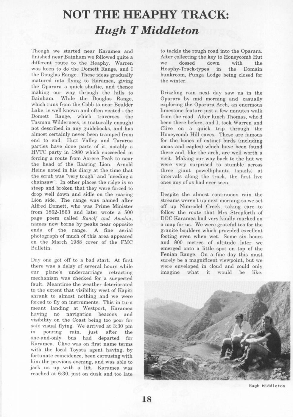
NOT THE HEAPHY TRACK: Hugh T Middleton Though we started near Karamea and to tackle the rough road into the Oparara. finished near Bainham we followed quite a After collecting the key to Honeycomb Hut different route to the Heaphy. Warren we dossed down with the was keen to do the Domett Range, and I Heaphy-Track-types in the Domain the Douglas Range. These ideas gradually bunkroom, Punga Lodge being closed for matured into flying to Karamea, giving the winter. the Oparara a quick shuftie, and thence making our way through the hills to Drizzling rain next day saw us in the Bainham. While the Douglas Range, Oparara by mid morning and casually which runs from the Cobb to near Boulder exploring the Oparara Arch, an enormous Lake, is well known and often visited - the limestone feature just a few minutes walk Domett Range, which traverses the from the road. After lunch Thomas, who'd Tasman Wilderness, is (naturally enough) been there before, and I, took Warren and not described in any guidebooks, and has Clive on a quick trip through the almost certainly never been tramped from Honeycomb Hill caves. These are famous end to end. Hutt Valley and Tararua for the bones of extinct birds (including parties have done parts of it, notably a moas and eagles) which have been found HVTC party in 1980 which succeeded in there and, like the arch, are well worth a forcing a route from Aorere Peak to near visit. Making our way back to the hut we the head of the Roaring Lion. Arnold were very surprised to stumble across Heine noted in his diary at the time that three giant powelliphanta (snails) at the scrub was "very tough" and "needing a intervals along the track, the first live chainsaw". In other places the ridge is so ones any of us had ever seen. steep and broken that they were forced to drop well down and sidle on the roaring Despite the almost continuous rain the Lion side. The range was named after streams weren'tup next morning so we set Alfred Domett, who was Prime Minister off up Nimrodel Creek, taking care to from 1862-1863 and later wrote a 500 follow the route that Mrs Stropforth of page poem called Ranolf and Amohia, DOC Karamea had very kindly marked on names now borne by peaks near opposite a map for us. We were grateful too for the ends of the range. A fine aerial granite boulders which provided excellent photograph of much of this area appeared footing even when wet. Some six hours on the March 1988 cover of the FMC and 800 metres of altitude later we Bulletin. emerged onto a little spot on top of the Fenian Range. On a fine day this must Day one got off to a bad start. At first surely be a magnificent viewpoint, but we there was a delay of several hours while were enveloped in cloud and could only our plane's undercarriage retracting imagine what it would be like. mechanism was checked for a suspected fault. Meantime the weather deteriorated to the extent that visibility west of Kapiti shrank to almost nothing and we were forced to fly on instruments. This in turn meant landing at Westport, Karamea having no navigation beacons and visibility on the Coast being too poor for safe visual flying. We arrived at 3:30 pm in pouring rain, just after the one-and-only bus had departed for Karamea. Clive was on first name terms with the local Toyota agent having, by fortunate coincidence, been carousing with him the previous evening, and was able to jack us up with a lift. Karamea was reached at 6:30, just on dusk and too late Hugh Middleton
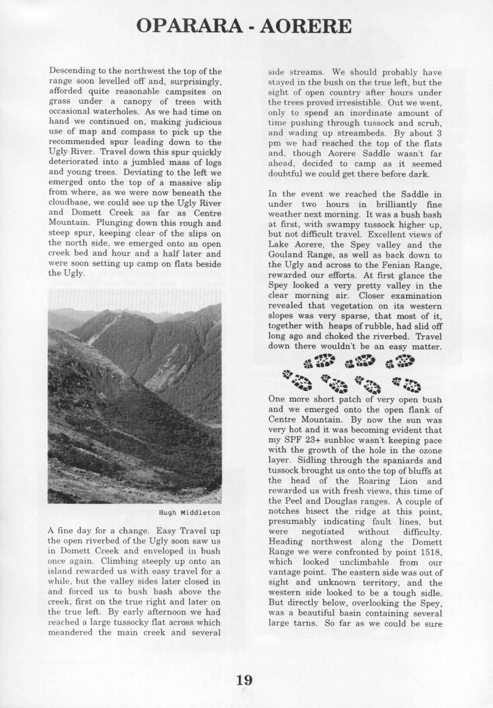
OPARARA - AORERE Descending to the northwest the top ofthe side streams. We should probably have range soon levelled off and, surprisingly, stayed in the bush on the true left, but the afforded quite reasonable campsites on sight of open country after hours under grass under a canopy of trees with the trees proved irresistible. Out we went, occasional waterholes. As we had time on only to spend an inordinate amount of hand we continued on, making judicious time pushing through tussock and scrub, use of map and compass to pick up the and wading up streambeds. By about 3 recommended spur leading down to the pm we had reached the top of the flats Ugly River. Travel down this spur quickly and, though Aorere Saddle wasn't far deteriorated into a jumbled mass of logs ahead, decided to camp as it seemed and young trees. Deviating to the left we doubtful we could get there before dark. emerged onto the top of a massive slip from where, as we were now beneath the In the event we reached the Saddle in cloudbase, we could see up the Ugly River under two hours in brilliantly fine and Domett Creek as far as Centre weather next morning. It was a bush bash Mountain. Plunging down this rough and at first, with swampy tussock higher up, steep spur, keeping clear of the slips on but not difficult travel. Excellent views of the north side, we emerged onto an open Lake Aorere, the Spey valley and the creek bed and hour and a half later and Gouland Range, as well as back down to were soon setting up camp on flats beside the Ugly and across to the Fenian Range, the Ugly. rewarded our efforts. At first glance the Spey looked a very pretty valley in the clear morning air. Closer examination revealed that vegetation on its western slopes was very sparse, that most of it, together with heaps of rubble, had slid off long ago and choked the riverbed. Travel down there wouldn't be an easy matter. - NER - a io N % Ta % A - a 8 a
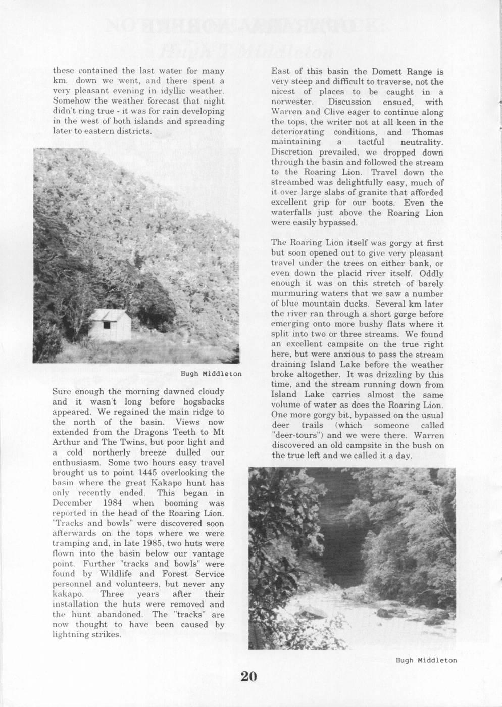
7 a One more short patch of very open bush and we emerged onto the open flank of Centre Mountain. By now the sun was very hot and it was becoming evident that my SPF 23+ sunbloc wasn't keeping pace with the growth of the hole in the ozone layer. Sidling through the spaniards and tussock brought us onto the top of bluffs at the head of the Roaring Lion and rewarded us with fresh views, this time of the Peel and Douglas ranges. A couple of Hugh Middleton notches bisect the ridge at this point, presumably indicating fault lines, but A fine day for a change. Easy Travel up were negotiated without difficulty. the open riverbed of the Ugly soon saw us Heading northwest along the Domett in Domett Creek and enveloped in bush Range we were confronted by point 1518, once again. Climbing steeply up onto an which looked unclimbable from our island rewarded us with easy travel for a vantage point. The eastern side was out of while, but the valley sides later closed in sight and unknown territory, and the and forced us to bush bash above the western side looked to be a tough sidle. creek, first on the true right and later on But directly below, overlooking the Spey, the true left. By early afternoon we had was a beautiful basin containing several reached a large tussocky flat across which large tarns. So far as we could be sure meandered the main creek and several these contained the last water for many East of this basin the Domett Range is km. down we went, and there spent a very steep and difficult to traverse, not the very pleasant evening in idyllic weather. nicest of places to be caught in a Somehow the weather forecast that night norwester. Discussion ensued, with didn't ring true - it was for rain developing Warren and Clive eager to continue along in the west of both islands and spreading the tops, the writer not at all keen in the later to eastern districts. deteriorating conditions, and Thomas maintaining a tactful neutrality. Discretion prevailed, we dropped down through the basin and followed the stream to the Roaring Lion. Travel down the streambed was delightfully easy, much of it over large slabs of granite that afforded excellent grip for our boots. Even the waterfalls just above the Roaring Lion were easily bypassed. The Roaring Lion itself was gorgy at first but soon opened out to give very pleasant travel under the trees on either bank, or even down the placid river itself. Oddly enough it was on this stretch of barely murmuring waters that we saw a number of blue mountain ducks. Several km later the river ran through a short gorge before emerging onto more bushy flats where it split into two or three streams. We found an excellent campsite on the true right here, but were anxious to pass the stream draining Island Lake before the weather Hugh Middleton broke altogether. It was drizzling by this time, and the stream running down from Sure enough the morning dawned cloudy Island Lake carries almost the same and it wasn't long before hogsbacks volume of water as does the Roaring Lion. appeared. We regained the main ridge to One more gorgy bit, bypassed on the usual the north of the basin. Views now deer trails (which someone called extended from the Dragons Teeth to Mt "deer-tours") and we were there. Warren Arthur and The Twins, but poor light and discovered an old campsite in the bush on a cold northerly breeze dulled our the true left and we called it a day. enthusiasm. Some two hours easy travel brought us to point 1445 overlooking the basin where the great Kakapo hunt has only recently ended. This began in December 1984 when booming was reported in the head of the Roaring Lion. "Tracks and bowls" were discovered soon afterwards on the tops where we were tramping and, in late 1985, two huts were flown into the basin below our vantage point. Further "tracks and bowls" were found by Wildlife and Forest Service personnel and volunteers, but never any kakapo. Three years after their installation the huts were removed and the hunt abandoned. The "tracks" are now thought to have been caused by lightning strikes. Hugh Middleton
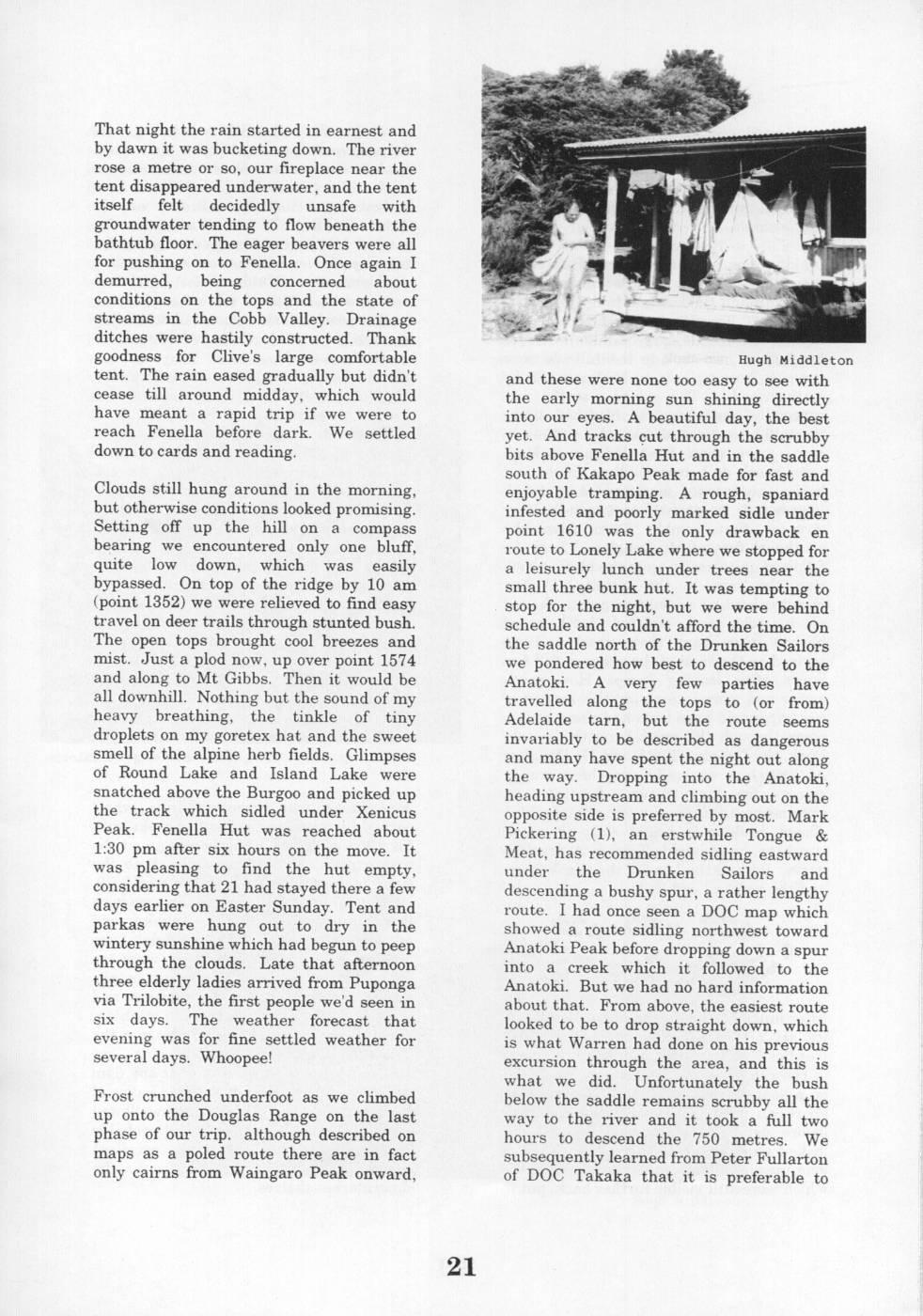
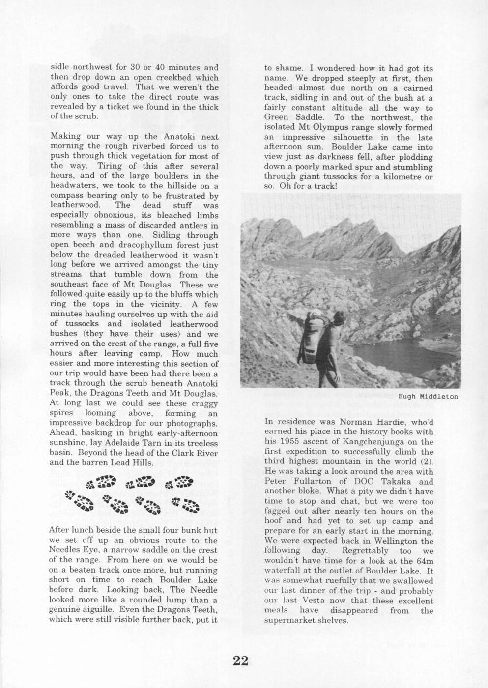
That night the rain started in earnest and by dawn it was bucketing down. The river rose a metre or so, our fireplace near the tent disappeared underwater, and the tent itself felt decidedly unsafe with groundwater tending to flow beneath the bathtub floor. The eager beavers were all for pushing on to Fenella. Once again I demurred, being concerned about conditions on the tops and the state of streams in the Cobb Valley. Drainage ditches were hastily constructed. Thank goodness for Clive's large comfortable Hugh Middleton tent. The rain eased gradually but didn't and these were none too easy to see with cease till around midday, which would the early morning sun shining directly have meant a rapid trip if we were to into our eyes. A beautiful day, the best reach Fenella before dark. We settled yet. And tracks çut through the scrubby down to cards and reading. bits above Fenella Hut and in the saddle south of Kakapo Peak made for fast and Clouds still hung around in the morning, enjoyable tramping. A rough, spaniard but otherwise conditions looked promising. infested and poorly marked sidle under Setting off up the hill on a compass point 1610 was the only drawback en bearing we encountered only one bluff, route to Lonely Lake where we stopped for quite low down, which was easily a leisurely lunch under trees near the bypassed. On top of the ridge by 10 am small three bunk hut. It was tempting to (point 1352) we were relieved to find easy stop for the night, but we were behind travel on deer trails through stunted bush. schedule and couldn't afford the time. On The open tops brought cool breezes and the saddle north of the Drunken Sailors mist. Just a plod now, up over point 1574 we pondered how best to descend to the and along to Mt Gibbs. Then it would be Anatoki. A very few parties have all downhill. Nothing but the sound of my travelled along the tops to (or from) heavy breathing, the tinkle of tiny Adelaide tarn, but the route seems droplets on my goretex hat and the sweet invariably to be described as dangerous smell of the alpine herb fields. Glimpses and many have spent the night out along of Round Lake and Island Lake were the way. Dropping into the Anatoki, snatched above the Burgoo and picked up heading upstream and climbing out on the the track which sidled under Xenicus opposite side is preferred by most. Mark Peak. Fenella Hut was reached about Pickering (1), an erstwhile Tongue & 1:30 pm after six hours on the move. It Meat, has recommended sidling eastward was pleasing to find the hut empty, under the Drunken Sailors and considering that 21 had stayed there a few descending a bushy spur, a rather lengthy days earlier on Easter Sunday. Tent and route. I had once seen a DOC map which parkas were hung out to dry in the showed a route sidling northwest toward wintery sunshine which had begun to peep Anatoki Peak before dropping down a spur through the clouds. Late that afternoon into a creek which it followed to the three elderly ladies arrived from Puponga Anatoki. But we had no hard information via Trilobite, the first people we'd seen in about that. From above, the easiest route six days. The weather forecast that looked to be to drop straight down, which evening was for fine settled weather for is what Warren had done on his previous several days. Whoopee! excursion through the area, and this is what we did. Unfortunately the bush Frost crunched underfoot as we climbed below the saddle remains scrubby all the up onto the Douglas Range on the last way to the river and it took a full two phase of our trip. although described on hours to descend the 750 metres. We maps as a poled route there are in fact subsequently learned from Peter Fullarton only cairns from Waingaro Peak onward, of DOC Takaka that it is preferable to sidle northwest for 30 or 40 minutes and to shame. I wondered how it had got its then drop down an open creekbed which name. We dropped steeply at first, then affords good travel. That we weren't the headed almost due north on a cairned only ones to take the direct route was track, sidling in and out of the bush at a revealed by a ticket we found in the thick fairly constant altitude all the way to ofthe scrub. Green Saddle. To the northwest, the isolated Mt Olympus range slowly formed Making our way up the Anatoki next an impressive silhouette in the late morning the rough riverbed forced us to afternoon sun. Boulder Lake came into push through thick vegetation for most of view just as darkness fell, after plodding the way. Tiring of this after several down a poorly marked spur and stumbling hours, and of the large boulders in the through giant tussocks for a kilometre or headwaters, we took to the hillside on a so. Oh for a track! compass bearing only to be frustrated by leatherwood. The dead stuff was especially obnoxious, its bleached limbs resembling a mass of discarded antlers in more ways than one. Sidling through open beech and dracophyllum forest just below the dreaded leatherwood it wasn't long before we arrived amongst the tiny streams that tumble down from the southeast face of Mt Douglas. These we followed quite easily up to the bluffs which ring the tops in the vicinity. A few minutes hauling ourselves up with the aid of tussocks and isolated leatherwood bushes (they have their uses) and we arrived on the crest oft the range, a full five hours after leaving camp. How much easier and more interesting this section of our trip would have been had there been a track through the scrub beneath Anatoki Peak, the Dragons Teeth and Mt Douglas. Hugh Middleton At long last we could see these craggy spires looming above, forming an impressive backdrop for our photographs. In residence was Norman Hardie, who'd Ahead, basking in bright early-afternoon earned his place in the history books with sunshine, lay Adelaide Tarn in its treeless his 1955 ascent of Kangchenjunga on the basin. Beyond the head of the Clark River first expedition to successfully climb the and the barren Lead Hills. third highest mountain in the world (2). He was taking a look around the area with AFE M a E * Peter Fullarton of DOC and à aba $ Ma Takaka * another bloke. What a pity we didn't have so2a0 a * a ta time to stop and chat, but we were too 31A sie fagged out after nearly ten hours on the hoof and had yet to set up camp and After lunch beside the small four bunk hut prepare for an early start in the morning. we set cff up an obvious route to the We were expected back in Wellington the Needles Eye, a narrow saddle on the crest following day. Regrettably too we of the range. From here on we would be wouldn't have time for a look at the 64m on a beaten track once more, but running waterfall at the outlet of Boulder Lake. It short on time to reach Boulder Lake was somewhat ruefully that we swallowed before dark. Looking back, The Needle our last dinner of the trip - and probably looked more like a rounded lump than a our last Vesta now that these excellent genuine aiguille. Even the Dragons Teeth, meals have disappeared from the which were still visible further back, put it supermarket shelves.
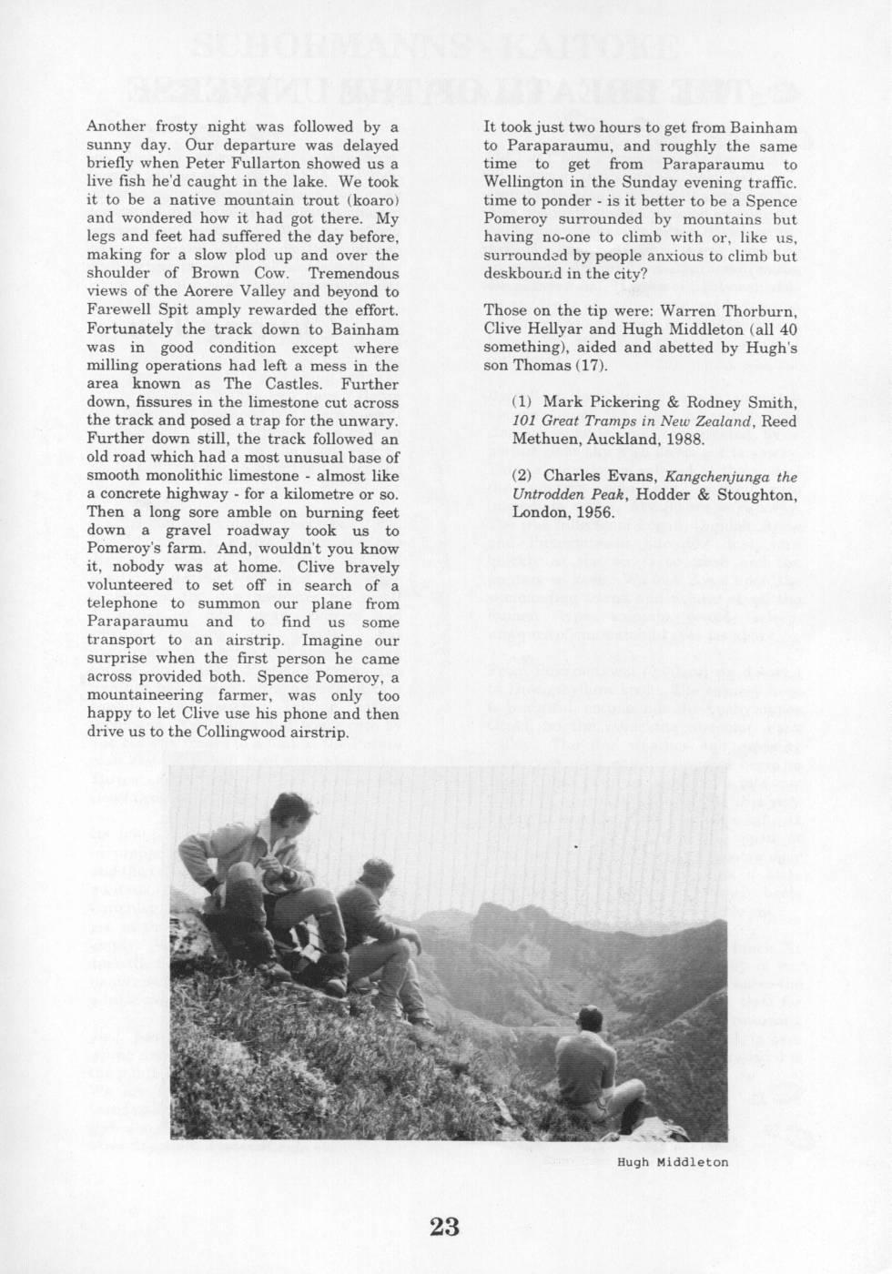
Another frosty night was followed by a It took just two hours to get from Bainham sunny day. Our departure was delayed to Paraparaumu, and roughly the same briefly when Peter Fullarton showed us a time to get from Paraparaumu to live fish he'd caught in the lake. We took Wellington in the Sunday evening traffic. it to be a native mountain trout (koaro) time to ponder is it better to be a Spence and wondered how it had got there. My Pomeroy surrounded by mountains but legs and feet had suffered the day before, having no-one to climb with or, like us, making for a slow plod up and over the surrounded by people anxious to climb but shoulder of Brown Cow. Tremendous deskbound in the city? views of the Aorere Valley and beyond to Farewell Spit amply rewarded the effort. Those on the tip were: Warren Thorburn, Fortunately the track down to Bainham Clive Hellyar and Hugh Middleton (all 40 was in good condition except where something), aided and abetted by Hugh's milling operations had left a mess in the son Thomas (17). area known as The Castles. Further down, fissures in the limestone cut across (1) Mark Pickering & Rodney Smith, the track and posed a trap for the unwary. 101 Great Tramps in New Zealand, Reed Further down still, the track followed an Methuen, Auckland, 1988. old road which had a most unusual base of smooth monolithic limestone - almost like (2) Charles Evans, Kangchenjunga the a concrete highway - for a kilometre or so. Untrodden Peak, Hodder & Stoughton, Then a long sore amble on burning feet London, 1956. down a gravel roadway took us to Pomeroy's farm. And, wouldn't you know it, nobody was at home. Clive bravely volunteered to set off in search of a telephone to summon our plane from Paraparaumu and to find us some transport to an airstrip. Imagine our surprise when the first person he came across provided both. Spence Pomeroy, a mountaineering farmer, was only too happy to let Clive use his phone and then drive us to the Collingwood airstrip. Hugh Middleton
Comments
Comments are not open yet.