
This report is shown as scanned pages until a volunteer types it up. Skip to the machine-read text (unproofread), which a screen reader can read.
Machine-read text (unproofread)
Read from the scans by software, so it contains mistakes. Typing it up properly would help blind readers: use Suggest an edit.
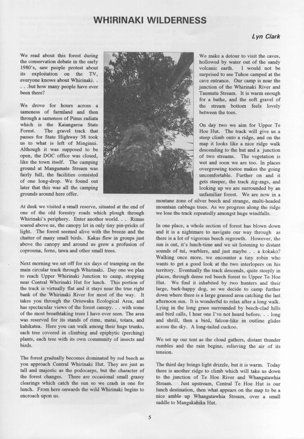
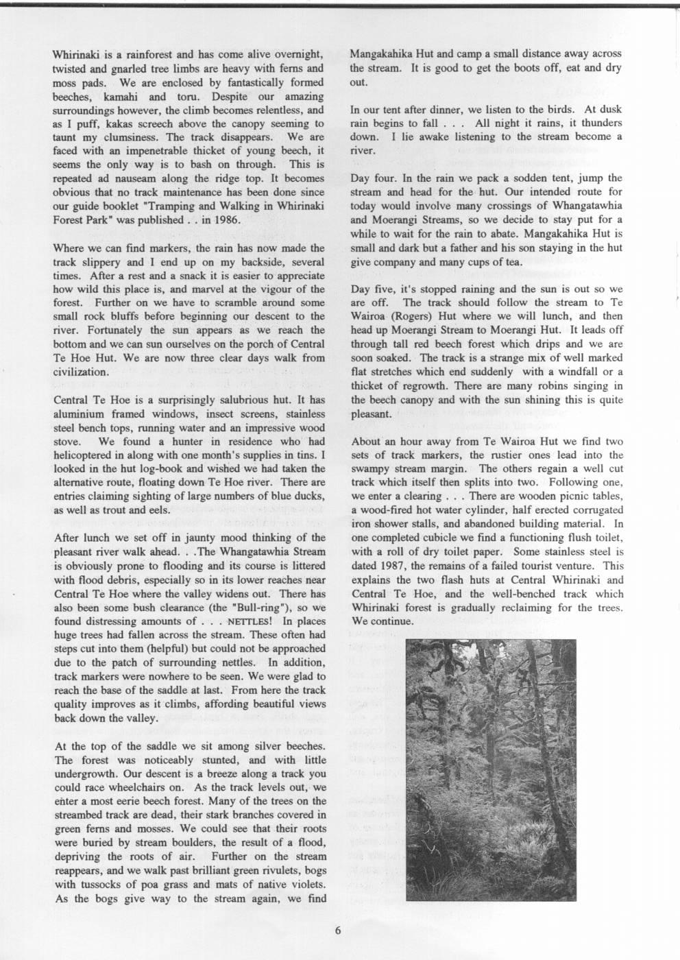
WHIRINAKI WILDERNESS Lyn Clark We read about this forest during We make a detour to visit the caves, the conservation debate in the early hollowed by water out of the sandy 1980's, saw people protest about volcanic earth. I would not be its exploitation on the TV, surprised to see Tuhoe camped at the everyone knows about Whirinaki. cave entrance. Our camp is near the .but how many people have ever junction of the Whirinaki River and been there? Taumutu Stream. It is warm enough for a bathe, and the soft gravel of We drove for hours across a the stream bottom feels lovely sameness of farmland and then between the toes. through a sameness of Pinus radiata which is the Kaiangaroa State On day two we aim for Upper Te Forest. The gravel track that Hoe Hut. The track will give us a passes for State Highway 38 took steep climb onto a ridge, and on the us to what is left of Minginui. map it looks like a nice ridge walk Although it was supposed to be descending to the hut and a junction open, the DOC office was closed, of two streams. The vegetation is like the town itself. The camping wet and soon we are too. In places ground at Mangamate Stream was overgrowing toetoe makes the going fairly full, the facilities consisted uncomfortable. Further on and it of one long-drop. We found out gets steeper, the track zig-zags, and later that this was all the camping looking up we are surrounded by an grounds around here offer. unfamiliar forest. We are now in a montane zone of silver beech and strange, multi-headed At dusk we visited a small reserve, situated at the end of mountain cabbage trees. As we progress along the ridge one of the old forestry roads which plough through we lose the track repeatedly amongst huge windfalls. Whirinaki's periphery. Enter another world. Rimus soared above us, the canopy let in only tiny pin-pricks of In one place, a whole section of forest has blown down light. The forest seemed alive with the breeze and the and it is a nightmare to navigate our way through as chatter of many small birds. Kakas flew in groups just there is a lot of vigorous beech regrowth. However, the above the canopy and around us grew a profusion of sun is out, it's lunch-time and we sit listening to distant coprosma, ferns, tawa and other small trees. sounds of tui, warblers, and just maybe - a kokako? Walking once more, we encounter a tiny robin who Next morning we set off for six days of tramping on the wants to get a good look at the two interlopers on his main circular track through Whirinaki. Day one we plan territory. Eventually the track descends, quite steeply in to reach Upper Whirinaki Junction to camp, stopping places, through dense red beech forest to Upper Te Hoe near Central Whirinaki Hut for lunch. This portion of Hut. We find it inhabited by two hunters and their the track is virtually flat and it stays near the true right large, bark-happy dog, so we decide to camp further bank of the Whirinaki River for most of the way. It down where there is a large grassed area catching the last takes you through the Oriuwaka Ecological Area, and afternoon sun. It is wonderful to relax after a long walk. has spectacular views of the forest canopy. with some Lying in the long grass surrounded by beech-clad hills of the most breathtaking trees I have ever seen. The area and bird calls, I hear one I've not heard before: long was reserved for its stands of rimu, matai, totara, and and shrill, then a bird, falcon-like in outline glides kahikatea. Here you can walk among their huge trunks, across the sky. A long-tailed cuckoo. each tree covered in climbing and epiphytic (perching) plants, each tree with its own community of insects and We set up our tent as the cloud gathers, distant thunder birds. rumbles and the rain begins, relieving the air of its tension. The forest gradually becomes dominated by red beech as you approach Central Whirinaki Hut. They are just as The third day brings light drizzle, but it is warm. Today tall and majestic as the podocarps, but the character of there is another ridge to climb which will take us down the forest changes. There are occasional small grassy to the junction of Te Hoe River and Whangatawhia clearings which catch the sun sO we crash in one for Stream. Just upstream, Central Te Hoe Hut is our lunch. From here onwards the wild Whirinaki begins to lunch destination, then what appears on the map to be a encroach upon us. nice amble up Whangatawhia Stream, over a small saddle to Mangakahika Hut.
Whirinaki is a rainforest and has come alive overnight, Mangakahika Hut and camp a small distance away across twisted and gnarled tree limbs are heavy with ferns and the stream. It is good to get the boots off, eat and dry moss pads. We are enclosed by fantastically formed out. beeches, kamahi and toru. Despite our amazing surroundings however, the climb becomes relentless, and In our tent after dinner, we listen to the birds. At dusk as I puff, kakas screech above the canopy seeming to rain begins to fall All night it rains, it thunders taunt my clumsiness. The track disappears. We are down. I lie awake listening to the stream become a faced with an impenetrable thicket of young beech, it river. seems the only way is to bash on through. This is repeated ad nauseam along the ridge top. It becomes Day four. In the rain we pack a sodden tent, jump the obvious that no track maintenance has been done since stream and head for the hut. Our intended route for our guide booklet "Tramping and Walking in Whirinaki today would involve many crossings of Whangatawhia Forest Park" was published in 1986. and Moerangi Streams, sO we decide to stay put for a while to wait for the rain to abate. Mangakahika Hut is Where we can find markers, the rain has now made the small and dark but a father and his son staying in the hut track slippery and I end up on my backside, several give company and many cups of tea. times. After a rest and a snack it is easier to appreciate how wild this place is, and marvel at the vigour of the Day five, it's stopped raining and the sun is out so we forest. Further on we have to scramble around some are off. The track should follow the stream to Te small rock bluffs before beginning our descent to the Wairoa (Rogers) Hut where we will lunch, and then river. Fortunately the sun appears as we reach the head up Moerangi Stream to Moerangi Hut. It leads off bottom and we can sun ourselves on the porch of Central through tall red beech forest which drips and we are Te Hoe Hut. We are now three clear days walk from soon soaked. The track is a strange mix ofwell marked civilization. flat stretches which end suddenly with a windfall or a thicket of regrowth. There are many robins singing in Central Te Hoe is a surprisingly salubrious hut. It has the beech canopy and with the sun shining this is quite aluminium framed windows, insect screens, stainless pleasant. steel bench tops, running water and an impressive wood stove. We found a hunter in residence who had About an hour away from Te Wairoa Hut we find two helicoptered in along with one month's 's supplies in tins. I sets of track markers, the rustier ones lead into the looked in the hut log-book and wished we had taken the swampy stream margin. The others regain a well cut alternative route, floating down Te Hoe river. There are track which itself then splits into two. Following one, entries claiming sighting ofl large numbers of blue ducks, we enter a clearing There are wooden picnic tables, as well as trout and eels. a wood-fired hot water cylinder, half erected corrugated iron shower stalls, and abandoned building material. In After lunch we set off in jaunty mood thinking of the one completed cubicle we find a functioning flush toilet, pleasant river walk ahead. - The Whangatawhia Stream with a roll of dry toilet paper. Some stainless steel is is obviously prone to flooding and its course is littered dated 1987, the remains of a failed tourist venture. This with flood debris, especially SO in its lower reaches near explains the two flash huts at Central Whirinaki and Central Te Hoe where the valley widens out. There has Central Te Hoe, and the well-benched track which also been some bush clearance (the "Bull-ring"), so we Whirinaki forest is gradually reclaiming for the trees. found distressing amounts of NETTLES! In places We continue. huge trees had fallen across the stream. These often had steps cut into them (helpful) but could not be approached due to the patch of surrounding nettles. In addition, track markers were nowhere to be seen. We were glad to reach the base of the saddle at last. From here the track quality improves as it climbs, affording beautiful views back down the valley. At the top of the saddle we sit among silver beeches. The forest was noticeably stunted, and with little undergrowth. Our descent is a breeze along a track you could race wheelchairs on. As the track levels out, we enter a most eerie beech forest. Many of the trees on the streambed track are dead, their stark branches covered in green ferns and mosses. We could see that their roots were buried by stream boulders, the result of a flood, depriving the roots of air. Further on the stream reappears, and we walk past brilliant green rivulets, bogs with tussocks of poa grass and mats of native violets. As the bogs give way to the stream again, we find
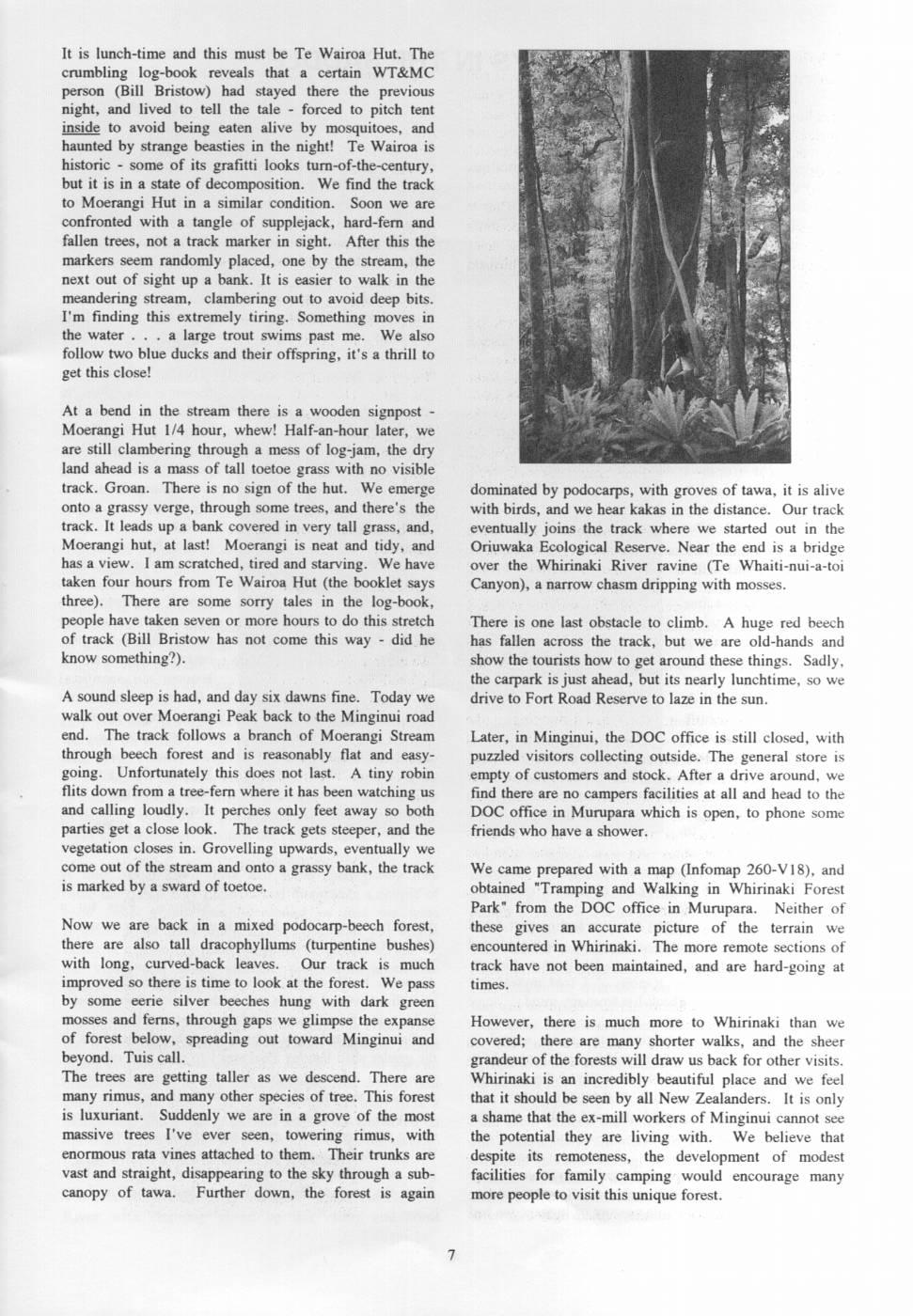
It is lunch-time and this must be Te Wairoa Hut. The crumbling log-book reveals that a certain WT&MC person (Bill Bristow) had stayed there the previous night, and lived to tell the tale forced to pitch tent inside to avoid being eaten alive by mosquitoes, and haunted by strange beasties in the night! Te Wairoa is historic - some of its grafitti looks turn-of-the-century, but it is in a state of decomposition. We find the track to Moerangi Hut in a similar condition. Soon we are confronted with a tangle of supplejack, hard-fern and fallen trees, not a track marker in sight. After this the markers seem randomly placed, one by the stream, the next out of sight up a bank. It is easier to walk in the meandering stream, clambering out to avoid deep bits. I'm finding this extremely tiring. Something moves in the water - a large trout swims past me. We also follow two blue ducks and their offspring, it's a thrill to get this close! At a bend in the stream there is a wooden signpost - Moerangi Hut 1/4 hour, whew! Half-an-hour later, we are still clambering through a mess of log-jam, the dry land ahead is a mass of tall toetoe grass with no visible track. Groan. There is no sign of the hut. We emerge dominated by podocarps, with groves of tawa, it is alive onto a grassy verge, through some trees, and there's the with birds, and we hear kakas in the distance. Our track track. It leads up a bank covered in very tall grass, and, eventually joins the track where we started out in the Moerangi hut, at last! Moerangi is neat and tidy, and Oriuwaka Ecological Reserve. Near the end is a bridge has a view. Iam scratched, tired and starving. We have over the Whirinaki River ravine (Te Whaiti-nui-a-toi taken four hours from Te Wairoa Hut (the booklet says Canyon), a narrow chasm dripping with mosses. three). There are some sorry tales in the log-book, people have taken seven or more hours to do this stretch There is one last obstacle to climb. A huge red beech of track (Bill Bristow has not come this way did he has fallen across the track, but we are old-hands and know something?). show the tourists how to get around these things. Sadly, the carpark is just ahead, but its nearly lunchtime, sO we A sound sleep is had, and day six dawns fine. Today we drive to Fort Road Reserve to laze in the sun. walk out over Moerangi Peak back to the Minginui road end. The track follows a branch of Moerangi Stream Later, in Minginui, the DOC office is still closed, with through beech forest and is reasonably flat and easy- puzzled visitors collecting outside. The general store is going. Unfortunately this does not last. A tiny robin empty of customers and stock. After a drive around, we flits down from a tree-fern where it has been watching us find there are no campers facilities at all and head to the and calling loudly. It perches only feet away so both DOC office in Murupara which is open, to phone some parties get a close look. The track gets steeper, and the friends who have a shower. vegetation closes in. Grovelling upwards, eventually we come out of the stream and onto a grassy bank, the track We came prepared with a map (Infomap 260-V18), and is marked by a sward of toetoe. obtained "Tramping and Walking in Whirinaki Forest Park" from the DOC office in Murupara. Neither of Now we are back in a mixed podocarp-beech forest, these gives an accurate picture of the terrain we there are also tall dracophyllums (turpentine bushes) encountered in Whirinaki. The more remote sections of with long, curved-back leaves. Our track is much track have not been maintained, and are hard-going at improved so there is time to look at the forest. We pass times. by some eerie silver beeches hung with dark green mosses and ferns, through gaps we glimpse the expanse However, there is much more to Whirinaki than we of forest below, spreading out toward Minginui and covered; there are many shorter walks, and the sheer beyond. Tuis call. grandeur of the forests will draw us back for other visits. The trees are getting taller as we descend. There are Whirinaki is an incredibly beautiful place and we feel many rimus, and many other species of tree. This forest that it should be seen by all New Zealanders. It is only is luxuriant. Suddenly we are in a grove of the most a shame that the ex-mill workers of Minginui cannot see massive trees I've ever seen, towering rimus, with the potential they are living with. We believe that enormous rata vines attached to them. Their trunks are despite its remoteness, the development of modest vast and straight, disappearing to the sky through a subfacilities for family camping would encourage many canopy of tawa. Further down, the forest is again more people to visit this unique forest.
Comments
Comments are not open yet.