
This report is shown as scanned pages until a volunteer types it up. Skip to the machine-read text (unproofread), which a screen reader can read.
Machine-read text (unproofread)
Read from the scans by software, so it contains mistakes. Typing it up properly would help blind readers: use Suggest an edit.
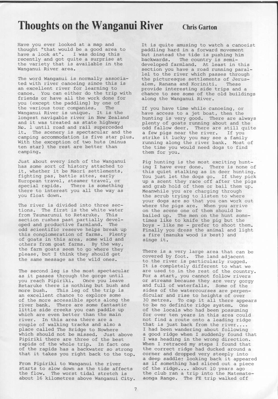
Thoughts on the Wanganui River Chris Garton Have you ever looked at a map and It is quite amusing to watch a canoeist thought "that would be a good area to paddling hard in a forward movement have a look at". I was doing this but instead the tide is pushing him recently and got quite a surprise at backwards. The country is semithe variety that is available in the developed farmland. At least in this Wanganui River area. section you have a road running parallel to the river which passes through The word Wanganui is normally associathe picturesque settlements of Jerusted with river canoeing since this is alem, Ranana and Koriniti. These an excellent river for learning to provide interesting side trips and a canoe. You can either do the trip with chance to see some of the old buildings friends or have all the work done for along the Wanganui River. you (except the paddling) by one of the various tour companies. The If you have time while canoeing, or Wanganui River is unique. It is the have access to a jet boat, then the longest navigable river in New Zealand hunting is very good. There are always and it was treated as state highway plenty of goats running about and the No. 1 until road and rail superceded odd fallow deer. There are still quite it. The scenery is spectacular and the a few pigs near the river. If you camping accommodation is five star plus. strike it lucky you may see a family With the exception of two huts (minus running along the river bank. Most of ten star) the rest are better than the time you would need dogs to find camping. them for you. Just about every inch of the Wanganui Pig hunting is the most exciting hunthas some sort of history attached to ing I have ever done. There is none of it, whether it be Maori settlements, this quiet stalking as in deer hunting. fighting pas, battle sites, early You just let the dogs go. If they pick European travel, steamer travel', or up a scent they race off after the pigs special rapids. There is something and grab hold of them or bail them up. there to interest you all the way as Meanwhile you are charging through you float down. the scrub trying to listen to where your dogs are so that you can work out The river is divided into three secwhere the pigs are. When you arrive tions. The first is the white water on the scene one of them should be from Taumarunui to Retaruke. This bailed up. The men on the hunt somesection rushes past partially develtimes like to knife the pig but the oped and productive farmland. The boys - like me - prefer to shoot them. odd scientific reserve helps break up Finally you dress the animal and light this conglomeration of farms. Plenty a fire (manuka wood is best) and of goats in this area, some wild and singe it. others from goat farms. By the way, the farm goats seem to go where they There is a very large area that can be please, but I think they should get covered by foot. The land adjacent the same message as the wild ones. to the river is particularly rugged. It is completely different to what we The second leg is the most spectacular are used to in the rest of the country. as it passes through the gorge until For a start, you cannot follow rivers you reach Pipiriki. Once you leave or streams because they are very gorgy Retaruke there is nothing but bush and and full of waterfalls. Some of the more bush. This leg of the trip is sides of the watercourses are perpenan excellent chance to explore some dicular and rise to heights of over of the more accessible spots along the 30 metres. To cap it all there appears river bank. There are some fantastic to be no definite ridge system. One little side creeks you can paddle up of the locals who had been possuming which are even better than the main for over ten years in this area could river. In this area there are a not find a route onto a leading ridge couple of walking tracks and also a that is just back from the river.. place called The Bridge to Nowhere I had been wandering about following which should not be missed. Just above a good ridge when I suddenly found that Pipiriki there are three of the best I was heading in the wrong direction. rapids of the whole trip. In fact one When I retraced my steps I found that of the rapids has a backwater so strong the correct ridge had ducked around a that it takes you right back to the top. corner and dropped very steeply into a deep saddle; looking back it appeared From Pipiriki to Wanganui the river as if something had sliced out a piece starts to slow down as the tide affects of the ridge.. about 10 years ago the flow. The worst tidal stretch is the club ran a trip into the Matemateabout 16 kilometres above Wanganui City. aonga Range. The FE trip walked off
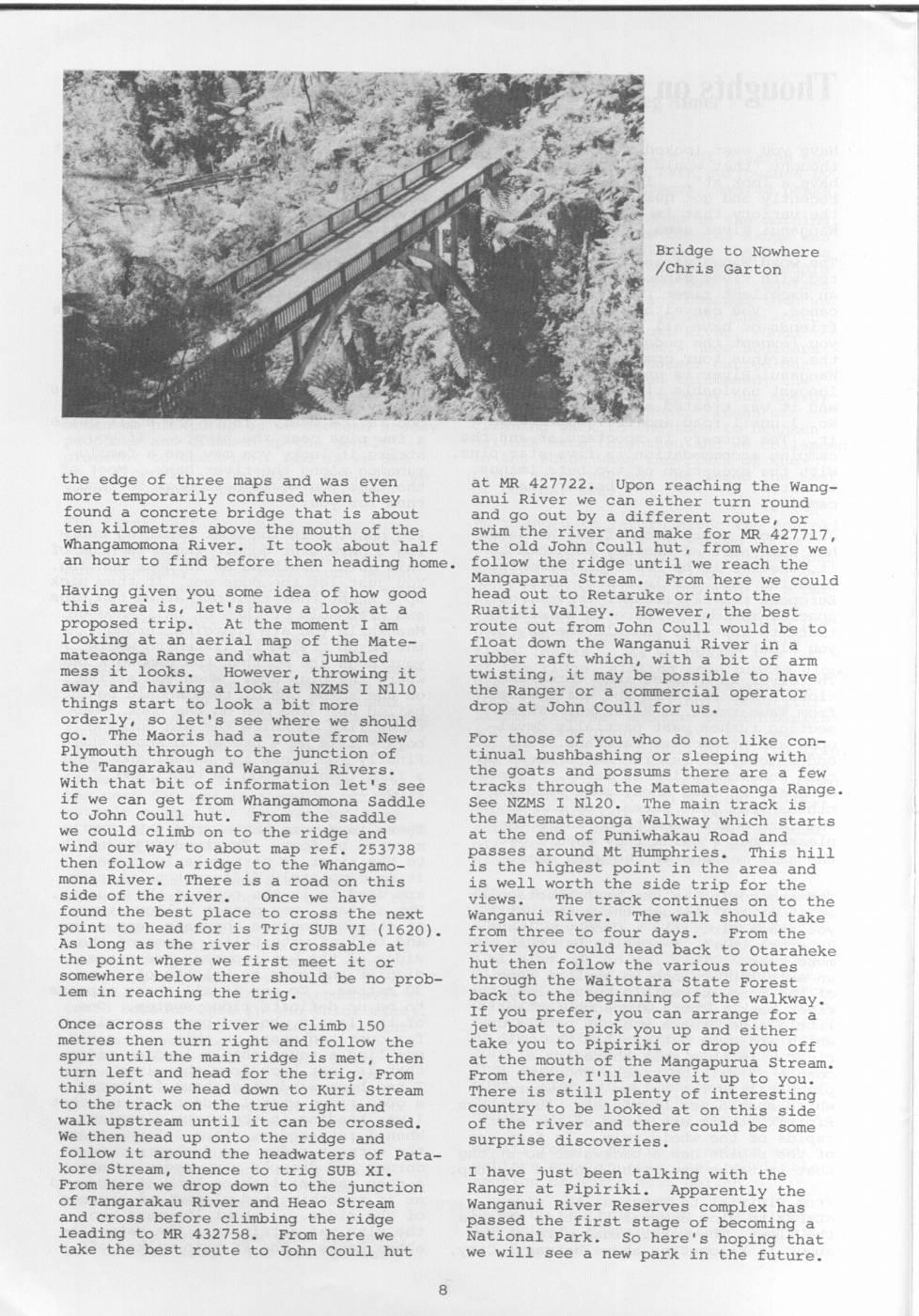
Bridge to Nowhere /Chris Garton the edge of three maps and was even at MR 427722. Upon reaching the Wangmore temporarily confused when they anui River we can either turn round found a concrete bridge that is about and go out by a different route, or ten kilometres above the mouth of the swim the river and make for MR 427717, Whangamomona River. It took about half the old John Coull hut, from where we an hour to find before then heading home. follow the ridge until we reach the Mangaparua Stream. From here we could Having given you some idea of how good head out to Retaruke or into the this area is, let's have a look at a Ruatiti Valley. However, the best proposed trip. At the moment I am route out from John Coull would be to looking at an aerial map of the Matefloat down the Wanganui River in a mateaonga Range and what a jumbled rubber raft which, with a bit of arm mess it looks. However, throwing it twisting, it may be possible to have away and having a look at NZMS I N110 the Ranger or a commercial operator things start to look a bit more drop at John Coull for us. orderly, so let's see where we should go. The Maoris had a route from New For those of you who do not like con- Plymouth through to the junction of tinual bushbashing or sleeping with the Tangarakau and Wanganui Rivers. the goats and possums there are a few With that bit of information let's see tracks through the Matemateaonga Range. if we can get from Whangamomona Saddle See NZMS I N120. The main track is to John Coull hut. From the saddle the Matemat ateaonga Walkway which starts we could climb on to the ridge and at the end of Puniwhakau Road and wind our way to about map ref. 253738 passes around Mt Humphries. This hill then follow a ridge to the Whangamois the highest point in the area and mona River. There is a road on this is well worth the side trip for the side of the river. Once we have views. The track continues on to the found the best place to cross the next Wanganui River. The walk should take point to head for is Trig SUB VI (1620). from three to four days. From the As long as the river is crossable at river you could head back to Otaraheke the point where we first meet it or hut then follow the various routes somewhere below there should be no prob- through the Waitotara State Forest lem in reaching the trig. back to the beginning of the walkway. If you prefer, you can arrange for a Once across the river we climb 150 jet boat to pick you up and either metres then turn right and follow the take you to Pipiriki or drop you off spur until the main ridge is met, then at the mouth of the Mangapurua Stream. turn left and head for the trig. From From there, I'll leave it up to you. this point we head down to Kuri Stream There is still plenty of interesting to the track on the true right and country to be looked at on this side walk upstream until it can be crossed. of the river and there could be some We then head up onto the ridge and surprise discoveries. follow it around the headwaters of Patakore Stream, thence to trig SUB XI. I have just been talking with the From here we drop down to the junction Ranger at Pipiriki. Apparently the of Tangarakau River and Heao Stream Wanganui River Reserves complex has and cross before climbing the ridge passed the first stage of becoming a leading to MR 432758. From here we National Park. So here's hoping that take the best route to John Coull hut we will see a new park in the future.
Comments
Comments are not open yet.